 |
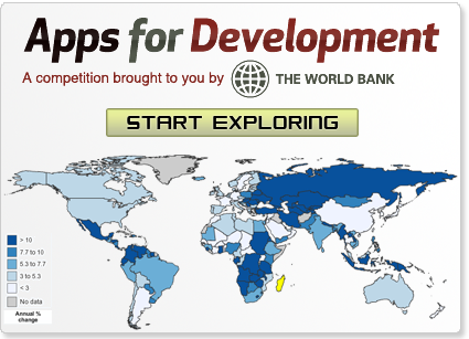
Explore world stats using StatPlanet World Bank, the first prize winner of the World Bank's Apps for Development competition. The app connects with the World Bank database through its open data API, and automatically visualizes any of the 8000+ indicators, across 5 decades, for 217 countries, in 3 languages (see the options below). [ v.3 - August 2015 ] |
StatPlanet World Bank enables you to explore, analyze and filter any of the 8000+ indicators in the form of interactive maps and graphs, through the intuitive StatPlanet interface. The data is retrieved live from the World Bank database, so is always up to date. The data is made available through the World Bank's Open Data initiative, and includes data on a wide range of topics from Agriculture to Science & Technology.
Options
- Select language: English, French, Spanish
- Select categorization: By data source | By topic (default)
- Select year range: 1960-2015, 1970-2015, 1980-2015, 1990-2015
- Note: only some indicators have data from 1960 to 2010+, such as "Agricultural land (% of land area)"
See also
- Apps for Development website
- World Bank's StatPlanet EdStats to explore education statistics.
- StatWorld - StatSilk's compilation of world stats using open data.
Explanatory video
World Stats Topics
World stats can be explored for the following topics:
- Agriculture and Rural Development
- Aid Effectiveness
- Economic Policy and External Debt
- Education
- Energy and Mining
- Environment
- Financial Sector
- Gender
- Health
- Infrastructure
- Labor and Social Protection
- Poverty
- Private Sector
- Science and Technology
- Social Development
- Urban Development
World Stats Data Sources
World stats can be explored for the following World Bank data sources:
- Africa Development Indicators
- Doing Business
- Education Statistics
- Enterprise Surveys
- Global Development Finance
- Gender Statistics
- Global Economic Monitor
- Global Economic Monitor (GEM) Commodities
- Health Nutrition and Population Statistics
- International Development Association
Versions
- Version 3.0: Updated to the latest version of StatPlanet, with improved interface, graphs and new customization options (August 5, 2015)
- Added indicator selection panel in the top-left corner (showing all indicators within the current category)
- Time series automatically scale according to the available year range for selected countries
- Fixed export issue, zoomed in map regions are now correctly exported
- New options:
- Hold shift to select multiple regions from the dropdown in the top-right corner
- Select all countries in a map region, by selecting the grey check mark icon in the top-right corner
- Select all countries in a map value range, by clicking on the range in the map legend (bottom-left), followed by the check mark icon
- Modified settings to reflect the latest World Bank data (Mar. 25, 2015)
- Version 2.1: Fixed issue with data export, various interface improvements (Nov. 30, 2011)
- Version 2.0: Added search, fixed indicator mouseover descriptions on startup, various interface improvements (Aug. 10, 2011)
- Version 1.0: First version released as World Bank Apps for Development competition entry (Feb. 2, 2011)